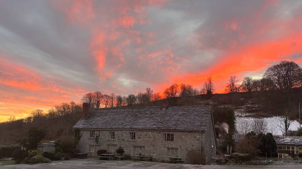
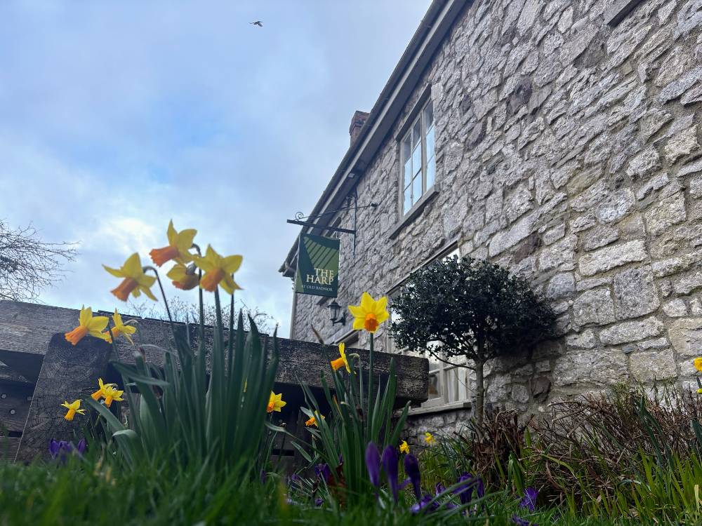
The Harp at Old Radnor is set in the perfect location to explore the local countryside. This circular walk from Old Radnor to Kington is just one of many fabulous walks in the area. Kington is just over 4 miles and 9 minutes away – by car, but it is also accessible by foot as a 10 mile circular walk.
Kington has the closest local amenities as well as a host of shops, pubs and places to eat.
Old Radnor to Kington | Circular Walk
Distance: 10 miles
Time: Approximately 3.5 hours
Highest elevation: 1300 feet
Difficulty: Medium
Dog Friendly: The majority of the walk is off road, but there are several stiles as well as grazing livestock. (alternative route).
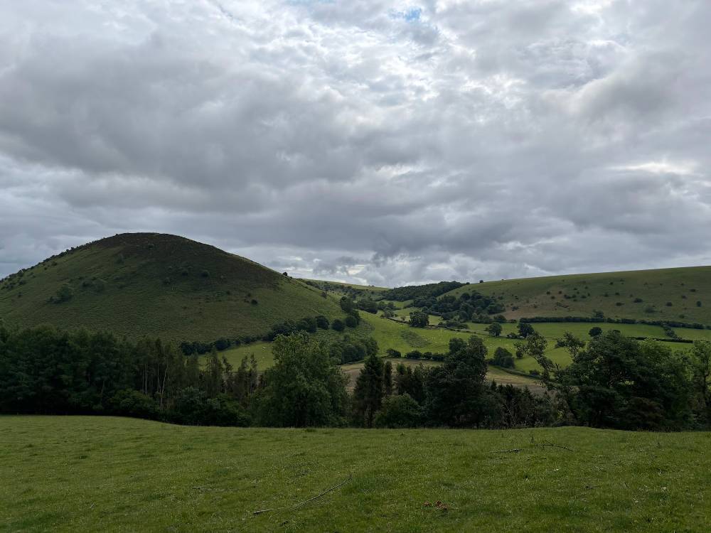
Features: Trees, quarry, hills, steep climbs, golf course.
Directions to Kington from the Harp Inn
- Turn left out of the Harp Inn and continue straight. You will pass St Stephens church on your right, followed by a row of houses and bungalows on your left.
- Turn left at the first public path marker and left again when you reach the top of the steep climb. This path takes you across the back of the Harp Inn.
- Keep following the path around to the right, through two gates, until you reach the Gore Quarry.
- Stick to the pedestrian paths round to the right to exit the quarry onto the A44.
- Cross the A44 and follow the route marker towards Navages Wood.
- Head due East, through gates and over stiles in the direction of Dunfield Lane.
- Cross Dunfield Lane and follow the path in a north-easterly direction.
- As you start to climb towards the Offa’s Dyke Path, the view behind you takes in the Monkey Puzzle Trees on Hergest Croft as well as Hanter Hill – features on the return section of the walk.
- When you reach the first Offa’s Dyke Path marker, continue straight. Turning to the left will take you north towards Knighton.
- From here follow the Off’s Dyke Path markers to Kington via the golf course.
Our post about things to in Kington is coming soon. Sign up for our newsletter below so you can be updated when this is available.
Return to the Harp Inn from Kington
- Head towards St Mary’s Church via Church Road, and head west onto Ridgebourne Road.
- This road takes you past Hergest Croft Gardens and onto Hergest Ridge and the Offa’s Dyke Path towards Gladestry in a westerly direction.
- The path rises for approximately half of the return portion of the walk before descending again.
- When you see the monkey puzzle trees on your left, take the first path on your right which descends towards Hanter Hill.
- As the path levels out, turn right and continue descending, following the path around Hanter Hill.
- When you have passed the holiday cottage, take the first available right to take the final descent to Hunter Lane.
- Hunter Lane leads onto the B4594 and straight over to Burlingjobb.
- Follow the winding road up to Old Radnor and a well deserved pint at the Harp Inn.
There is mobile signal on this route so you can check a generic map app if you take a wrong turning, alternatively consider using Ordnance Survey map 201 which covers Old Radnor, Presteigne and Knighton and includes a mobile download.
Some of the marker points have been plotted on Google Maps, including the entrances to Navages Wood and Hergest Croft. The map also shows other points of interest in the area.
Alternative Route to Kington
The circular walk detailed above involves several stiles so would be difficult with a dog. An alternative route would be to travel both ways via Hergest Ridge.
Follow the directions to the Monkey Puzzle Trees from the Harp, then continue east along Hergest Ridge towards Hergest Croft Gardens. Continue onto Ridgebourne Road which takes you into Kington by St Mary’s Church.
Return to the Harp by retracing your steps along the same route, or use the detailed instructions from the return portion of the circular walk.
We are updating our site with new walks and local information all the time. Sign up for our newsletter to be the first to hear when there are updates.